China has formally begun construction on a massive $167.8 billion dam project on the Brahmaputra River in Tibet, raising significant concerns for downstream nations like India and Bangladesh.
The Mega-Dam Project Takes Shape
Chinese Premier Li Qiang recently announced the start of this colossal hydropower project on the lower reaches of the Brahmaputra, known locally as Yarlung Zangbo, near Nyingchi City.
Valued at approximately $167.8 billion, this infrastructure undertaking is set to be the largest of its kind globally. It will comprise five interconnected hydropower stations.
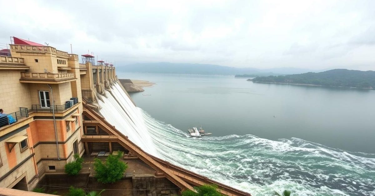
The location near the “Great Bend” of the Yarlung Zangbo River is ideal for power generation. Here, the river drops dramatically by 2,000 meters over a short distance, offering immense hydroelectric potential.
Why Downstream Countries Are Concerned
The proposed dam’s strategic position, where the Brahmaputra makes a sharp U-turn before entering India and then Bangladesh, poses a risk to the river’s natural flow.
Both India and Bangladesh, as lower riparian states, are susceptible to the dam’s impact. There are fears of disruptions to agricultural productivity, affecting vital crops like rice and jute, and potential harm to biodiversity hotspots such as the Eastern Himalayas.
While China emphasizes the project’s importance for its renewable energy goals, the potential effects on water flow, ecological stability, and regional geopolitics remain a major concern for its neighbors.
Brahmaputra: A River of Many Names
The Brahmaputra is a vital transboundary river basin, spanning across China, India, Bangladesh, and Bhutan. In India alone, it covers over 194,000 square kilometers, flowing through states like Arunachal Pradesh, Assam, and West Bengal.
Originating from the Chemayungdung Glacier in Tibet, near Mansarovar Lake, the river flows eastward as the Yarlung Tsangpo. After taking its iconic “U” turn at Namcha Barwa, it enters India in Arunachal Pradesh, where it is known as the Siang or Dihang River.
Further downstream, it is joined by the Dibang and Lohit rivers, officially becoming the Brahmaputra. Key right-bank tributaries in India include the Subansiri, Kameng, Manas, and Sankosh rivers.
Once it reaches Bangladesh, near Dhubri in Assam, it takes the name Jamuna after being joined by the Teesta. It eventually merges with the Padma River before emptying into the Bay of Bengal.
The river’s flow is unique; it travels west to east in Tibet and then east to west in Assam. Its Indian tributaries are heavily rainfed, leading to significant silt deposition that causes frequent floods, channel shifts, and forms large riverine islands, like Majuli, the world’s largest.
Navigating Cross-Border Water Relations
Cooperation on transboundary rivers between India and China is governed by an umbrella Memorandum of Understanding (MoU), alongside separate MoUs for the Brahmaputra and Sutlej rivers.
However, these mechanisms face challenges. The Brahmaputra MoU, typically renewed every five years, lapsed in 2023, and its renewal is still in diplomatic discussions. An Expert Level Mechanism, intended for annual meetings, has also seen interruptions.
In this complex scenario, international frameworks like the 1997 United Nations Convention on the Law of the Non-Navigational Uses of International Watercourses could play a crucial role in managing shared water resources.
- China has commenced building a $167.8 billion dam on the Brahmaputra (Yarlung Zangbo) in Tibet.
- This hydropower project, located at the river’s “Great Bend,” is designed to be the world’s largest.
- Downstream nations, particularly India and Bangladesh, are concerned about potential impacts on water flow, agriculture, and ecosystems.
- The Brahmaputra is a vital transboundary river with a unique flow pattern, crucial for millions of livelihoods.
- Existing diplomatic agreements between India and China on shared water resources face renewal and implementation challenges.
The development highlights the ongoing need for robust dialogue and cooperation mechanisms to ensure equitable and sustainable management of shared river basins.